[Tuttle moved with a light company to clear out a tiny peninsula which juts out into Ariake Bay.]
The official Army map clearly showed a trail continuing on out to the tip. Every person in the column wondered aloud, in a colorful palette of language, just what the map makers had seen that we couldn’t. We had assumed they used aerial photos and perhaps old file maps made by locals before the war. The analyst who drew this map may have used old horoscopes.
The trail went plainly enough to the first hilltop, where a small clearing would have been a pleasant camping spot. Today it held a captain and two lieutenants arguing about which false trailhead in front of us actually went anywhere (none of them did, it turned out). Finally they agreed to navigate by the contour map, which seemed accurate enough. We moved out line abreast, stubbornly hacking through patches of brush, to find each local high spot. No enemy were sighted, and we took no fire, even though we were making a good bit of noise, with nothing else to mask it.
About noon I did notice appreciable traffic of aircraft flying into the hills behind us, accompanied by distant thunder from exploding bombs and shells. So there was some action. Around one o’clock we were on another high spot about half way out, and a quick lunch break was called.
Out loud I ordered a hot salami sandwich with fresh pickle and a double martini. A couple guys laughed at my wisecrack so I sat with them for our lunch of cold canned rations and crackers, with vintage canteen water.
We formed up again and continued before anyone could get too comfortable. The point narrowed, so we had less area to cover, but it also got more steep. Men were walking sideways on steep slopes, ducking under branches, wary of both twisting an ankle and of being shot at from some anonymous tree top. In several places ropes were tied to make hand holds. In another two hours we were near the end and closed in on the last high spot, at the very tip of the bony peninsula.
The entire lead squad stopped, knelt down, and waved for an officer to come forward. I followed. They had come to the edge of a U-shaped clearing. The open end of the U had a clear view of the ocean. At the center was a short rectangular concrete building. It was clear even from directly behind that the front side of this reinforced pillbox had been smashed by very heavy artillery or bombs.
Supporting squads were moved out along the sides of the clearing. From the closed end the first squad advanced in line toward the wrecked fortification. A few of them had rifles shouldered, ready for trouble. Others were mostly casual, sure that the emplacement was long abandoned.
A shot rang out and an American soldier in the center of the line was down. With a bloody shriek the first Japanese soldier anyone had seen up close in days ran out the back of the bunker directly toward the American line. He fired a rifle from the hip, and got off two more wild shots before return fire cut him down. In a few seconds at least twenty American .30 caliber cartridges were snapped off toward him.
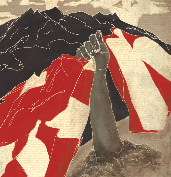
The Japanese soldier, an older corporal, fell first to his knees. He reached into a jacket pocket, which drew three more shots into his abdomen. Before he died he drew out a small crumpled rising sun flag. It fluttered open freely as he fell forward. By chance his hand caught it again on the way down. His lifeless fingers involuntarily clutched the flag, its bright red streamers flowing out across the ground next to the bleeding body.

